AgML: Open-Source Machine Learning Infrastructure Pilot Project with Optimized Sensor-Driven Resilient Precision Agriculture
Description
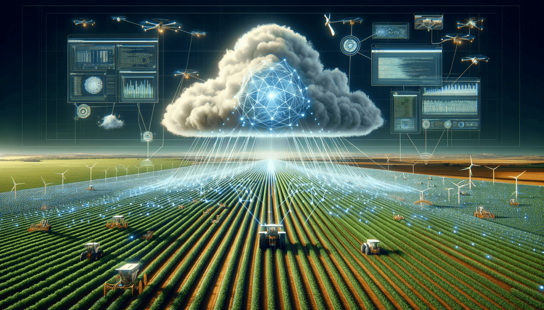
SIGNIFICANCE
The three teams on this project are collaborating in the areas of open-source infrastructure development, optimized sensor-driven precision agriculture, and novel inexpensive wireless sensors for accurately measuring soil nitrate. The proposed open-source infrastructure development project has the potential to accelerate the scaling of agricultural AI technologies across academia and industry. Currently, no such framework exists for agricultural AI. The proposed open-source Python library, called AgML, will provide data and code resources to academic and industry ML developers, ultimately aiming to build a broader open-source community through shared infrastructure. The proposed optimized sensor-driven resilient precision agriculture component of the project could ultimately result in decreasing economic damage from airborne delivery of agricultural products. Additionally, the addition of inexpensive soil nitrate sensors could reduce cost and labor involved in measuring soil nitrate levels.
GOALS
AgML’s objectives are to centralize and standardize datasets, develop benchmarks and pre-trained models, create ag-specific ML workflows, and generate synthetic ML agricultural data. The optimized sensor work will provide useful tools to enable rapid path planning for autonomous vehicle operators in real-time and to train operators in large surface area food systems. The soil nitrate sensors will be developed and characterized in real world conditions.
Photos


Team

Mason Earles
Principal Investigator

Tarek Zohdi
Principal Investigator

Isaya Kisekka
Principal Investigator

Zhaodan Kong
Collaborator

Brian Bailey
Collaborator

Stavros Vougioukas
Collaborator

Alireza Pourreza
Collaborator

Yufang Jin
Collaborator

Ana Arias
Collaborator

Ethan Ligon
Collaborator

Xin Liu
Collaborator

Mark Mueller
Collaborator

Ilias Tagkopoulos
Collaborator
Publications

GNSS-Free End-of-Row Detection and Headland Maneuvering for Orchard Navigation Using a Depth Camera

Estimation of Tomato Water Status with Photochemical Reflectance Index and Machine Learning: Assessment From Proximal Sensors and UAV Imagery

Perception-aware Receding Horizon Trajectory Planning for Multicopters with Visual-inertial Odometry

Printed Potentiometric Nitrate Sensors for Use in Soil

Standardizing and Centralizing Datasets for Efficient Training of Agricultural Deep Learning Models
